Golden Empire along Roxas Blvd
Manila CityMap- 3 Baths
- 258.22 sqm
- Condominium


How big is it?
258 sqm of floor area is about 61% of a basketball court, or a square 16.1 m by 16.1 m.
- This home, drawn as a square
- A basketball court, 28 x 15 m
Drawn to scale. The real shape and layout will differ; ask for the floor plan.
The neighbourhood
Train stations
- United Nations890 m
- Pedro Gil1.4 km
- Central Terminal1.4 km
Malls
- Robinsons Manila980 m
- SM City Manila1.2 km
- Manila City Plaza2.0 km
Hospitals
- Manila Doctors Hospital690 m
- AMOSUP Seamen's Hospital690 m
- Medical Center Manila980 m
Schools & universities
- Far East Maritime Training Institute320 m
- Oceanlink Institute inc.350 m
- Altitude Training Center-(9th Floor)360 m
The pin marks the approximate area, not the exact unit. Distances are straight-line. Data © OpenStreetMap contributors.
Lifestyle score
Nearly everything within walking distance
- TransitUnited Nations, 890 m80
- Groceries31 supermarkets, groceries or markets within 1 km100
- Dining151 restaurants and cafes within 1 km100
- Parks19 parks or playgrounds within 1 km100
- HealthManila Doctors Hospital, 690 m; 44 clinics and pharmacies within 1 km100
- SchoolsFar East Maritime Training Institute, 320 m100
Worked out from OpenStreetMap: places within 500 m and 1 km (about a 6- and 12-minute walk), and stations, hospitals and schools within 2 km. A guide for comparing listings, not an official rating. Newer and provincial areas are often under-mapped, so they can score lower than they deserve.
Natural hazards
This spot is on at least one of the government hazard maps. Read the details before you decide.
- FloodingDry in 5- and 25-year rains; floods only in a once-in-100-years rain.Low, up to 0.5 m
- Storm surgeReached when PAGASA warns of a Level 2 storm surge (a storm tide of 3 to 4 m).Level 2 surge
- LandslideNot in a mapped landslide area.None mapped
Checked at the map pin, which is placed from the street address. Upper floors stay dry; the street, lobby and parking are what flood. Flood, storm surge and landslide maps: UP NOAH (ODbL), via BetterGov.ph. Maps are a guide, not a guarantee.
Inquire about this property
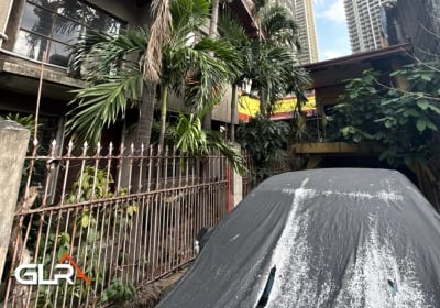 Lakeview Drive, Pasig City
Pasig City
₱39,800,000
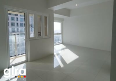 Madison Park West - BGC
BGC, Taguig City
₱27,000,000
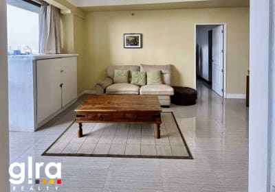 Bellagio - Tower 3 BGC
3 Forbestown Rd, Taguig, 1634 Metro Manila
₱24,000,000
 Park McKinley West, Taguig City
BGC
₱30,000,000
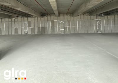 Gentry Corporate Plaza, Salcedo Village, Makati
Salcedo Village, Makati
₱35,000,000
 Flora Vista Condominium
Quezon City
₱2,800,000