Victoria Place Pasig Residential Lot, Birmingham
Brgy. Caniogan, Pasig Via C. Raymundo near Mercedes Ave. & Ortigas Ave. Ext.Map- 432 sqm lot
- Residential Lot


How big is it?
432 sqm of lot is about one basketball court, or a square 20.8 m by 20.8 m.
- This lot, drawn as a square
- A basketball court, 28 x 15 m
Drawn to scale. The real shape and layout will differ; ask for the floor plan.
The neighbourhood
Malls
- One Mercedes Plaza750 m
- Fashion Circle950 m
- SM Center Pasig1.6 km
Hospitals
- Javillonar Clinic and Hospital570 m
- Alfonso Clinic800 m
- TriCity Medical Center900 m
Schools & universities
- Caniogan Elementary School150 m
- Arellano University in Pasig - Elementary Department280 m
- Pasig Catholic College290 m
The pin marks the approximate area, not the exact unit. Distances are straight-line. Data © OpenStreetMap contributors.
Lifestyle score
Nearly everything within walking distance
- Transit31 bus or transport stops within 1 km70
- Groceries37 supermarkets, groceries or markets within 1 km100
- Dining65 restaurants and cafes within 1 km100
- Parks4 parks or playgrounds within 1 km71
- HealthJavillonar Clinic and Hospital, 570 m; 34 clinics and pharmacies within 1 km100
- SchoolsCaniogan Elementary School, 150 m100
Worked out from OpenStreetMap: places within 500 m and 1 km (about a 6- and 12-minute walk), and stations, hospitals and schools within 2 km. A guide for comparing listings, not an official rating. Newer and provincial areas are often under-mapped, so they can score lower than they deserve.
Natural hazards
No flood, storm surge or landslide hazard is mapped at this spot.
- FloodingOutside the flood areas mapped for even a once-in-100-years rain.None mapped
- Storm surgeNot reached by any of the four storm surge warning levels.None mapped
- LandslideNot in a mapped landslide area.None mapped
Checked at the map pin, which marks the neighbourhood, not the exact building: use the buttons above for the exact address. Flood, storm surge and landslide maps: UP NOAH (ODbL), via BetterGov.ph. Maps are a guide, not a guarantee.
Inquire about this property
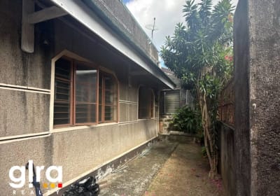 UP Diliman Area, Quezon City
Quezon City
₱54,000,000
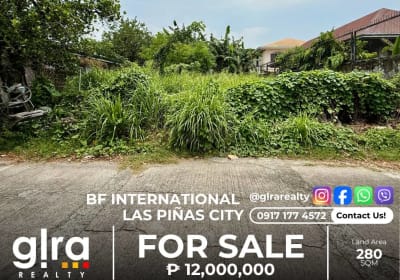 Prime Residential Lot in BF International - Las Piñas City
Las Piñas City
₱12,000,000
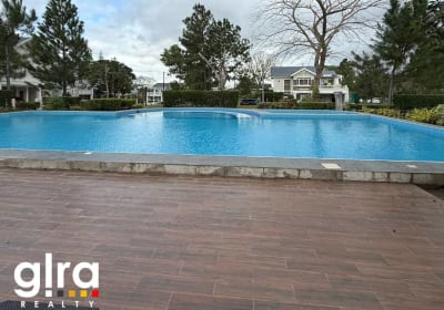 Augusta, Nuvali, Sta. Rosa
Nuvali, Sta. Rosa
₱17,000,000
 Swiss House in Crosswind
Brgy Iruhin, Tagaytay City
₱38,000,000
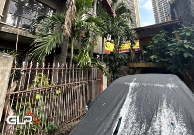 Lakeview Drive, Pasig City
Pasig City
₱39,800,000
 Brgy. Highway Hills, Mandaluyong City
Mandaluyong City
₱52,000,000